Cultural Heritage
Transport

Omalo
The Village of Omalo (42°22′44″ N, 45°37′48″ E) is located in Akhmeta Municipality, Kakheti Region, in the historical part of Tusheti, historical Pirikita (Chaghma) Community, 90 km away from Akhmeta, on the right bank of the river Pirikita Alazani and is the administrative center of Tusheti Region.
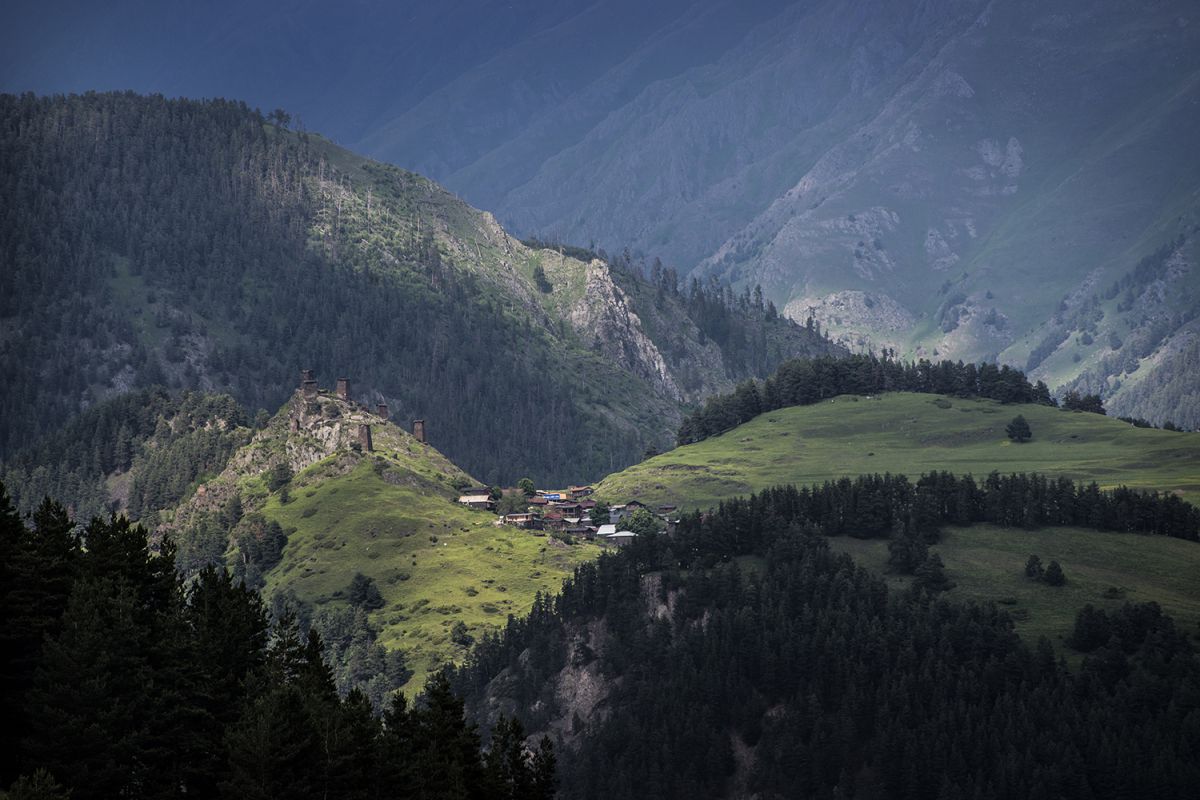
Omalo consists of 3 parts: Upper Omalo (2070m), Keselo Castle (2084m) and Lower Omalo (1898m). The old Omalo, built in the 18th century and its population was dwelt near Keselo Castle. Later, the village gradually moved to the present-day Omalo (new) plain.
According to the legend, during the reign of Shamil and Leks, the village was at war. The village is located between the Greater Caucasus and the Pirikita ridges. Due to the lack of roads, it has been cut off from the rest of Georgia for half a year. The village of Omalo is located on the territory of Tusheti Protected Landscape and it is subordinated to the Ministry of Environment Protection and Natural Resources of Georgia. Old Omalo was included in the list of intangible cultural monuments of national importance by the Decree N665 of the President of Georgia dated by November 7, 2006.


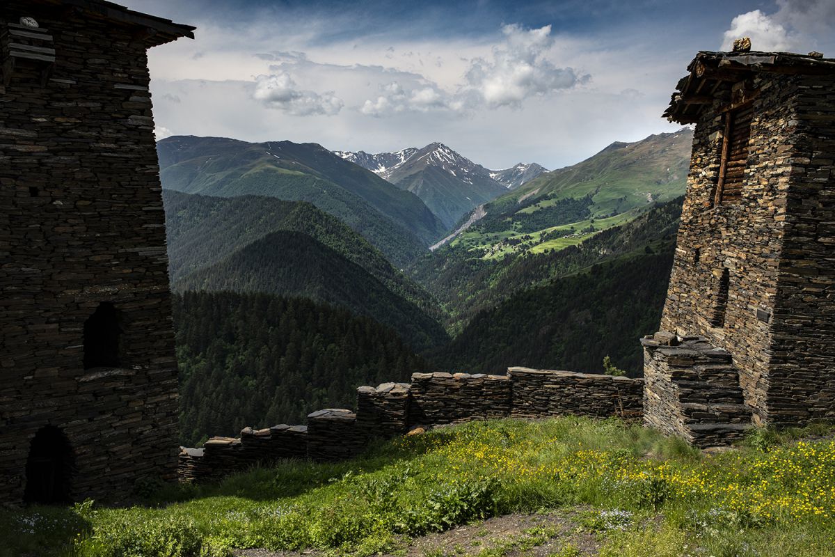
There are total of 11 cultural monuments in the village. The village is not visible from either side due to the surrounding mountains, which creates an amazing coziness. Such a crater layout is an important characteristic for the upper Omalo. To the north, there is the most developed part of the village, crowned by the main dominator of Omalo - Keselo Castle - which is located on a steep slopy mountain and consists of a single ensemble of separate towers and castles. The houses in the district are strewn on a hill one after the other. From this side, the entrance to the Keselo Castle is through fences and paths. In the upper Omalo, there grows 5-6 oak trees, which give a unique touch to the rural landscape.
Archeological material found during excavations in Omalo is noteworthy, which reflects three archeological sites: a settlement to the south of the village, so called burnt castle hill, shrine on the same side _ "Samnateo" and a cemetery to the east of the village.
Kvemo Omalo is a relatively new planning formation, the main development of which, as the center of Tusheti, took place during the Soviet period. Because of this, it has changed its appearance the most compared to other villages. The village is a combination of houses of different styles and eras.
Nevertheless, in a separate building we can identify the historical settlements, which indicates that in its time, in this place should have been located the watermelon growing areas of Omalo, so called “bosels”. In terms of social infrastructure, a visitor center for protected areas has been opened in Omalo. There is no electricity and gas supply network. The population mainly uses solar energy.
The holiday "Tushetoba" is associated with the ancient profession of the Tush people - sheep breeding and has been celebrated annually in the village of Omalo in July or August since 1970. The Omalo Ethnographic Museum operates in Keselo fortress.
References: Spatial-territorial planning of Akhmeta municipality and Tusheti. Studio 21


